


tanet lac vert le col du tanet

Didier-114
User


Length
9 km

Max alt
1281 m

Uphill gradient
337 m
Km-Effort
13.5 km

Min alt
1053 m

Downhill gradient
342 m
Boucle
Yes
Creation date :
2021-06-27 07:26:07.682
Updated on :
2021-06-27 12:05:55.999
3h57
Difficulty : Medium

FREE GPS app for hiking
 SityTrail
IGN / Geographical institutes
SityTrail Plus
The world is yours!
About
Trail Walking of 9 km to be discovered at Grand Est, Vosges, Le Valtin. This trail is proposed by Didier-114.
Description
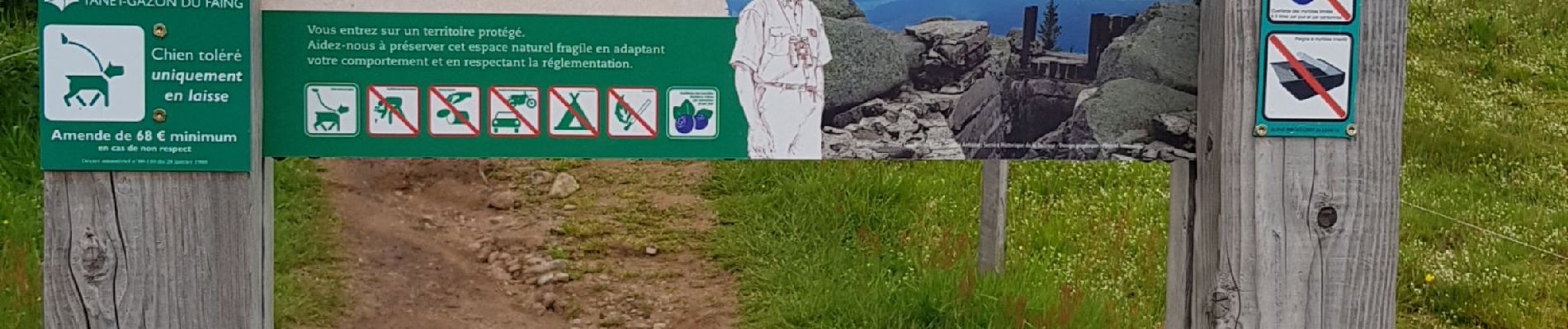
une vue superbe sur les crêtes, le lac est bien vert😁
pour le retour un nouvel itinéraire bien balisé a partir du lac
une balade très chouette
Photos


Positioning
Country:
France
Region :
Grand Est
Department/Province :
Vosges
Municipality :
Le Valtin
Location:
Unknown
Start:(Dec)
Start:(UTM)
354426 ; 5327505 (32U) N.
Comments